⛈️ SEVERE WEATHER THREAT INCREASING ACROSS NEW JERSEY
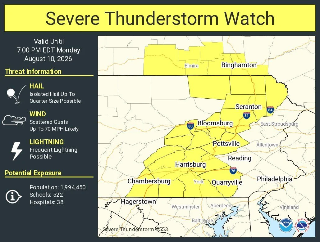
New Jersey residents should prepare for severe thunderstorms Monday afternoon as the threat of damaging winds, hail, and heavy rain increases. The National Weather Service warns that these storms could cause power outages and hazardous travel conditions across the state.
NEW JERSEY — Residents across the Garden State are being urged to remain weather-aware Monday as the threat for strong to severe thunderstorms increases later today. ⛈️⚠️
A Severe Thunderstorm Watch is currently in effect just west of the Tri-State Area, and forecasters indicate that portions of New Jersey could be placed under a Severe Thunderstorm Watch later today.
The primary concern is damaging straight-line winds, which could bring down trees and power lines, cause property damage and create hazardous driving conditions. Strong thunderstorms could also produce frequent lightning, heavy rainfall and hail.
The National Weather Service is monitoring conditions closely as thunderstorms develop and move toward the region. (National Weather Service)
🌩️ Garden State News Network recommends: • Keep an eye on changing weather conditions throughout the afternoon and evening. • Secure loose outdoor objects before storms arrive. • Avoid driving through flooded roadways. • If a warning is issued for your area, seek shelter indoors immediately. • Never shelter under trees during thunderstorms.
🚨 GSNN will continue monitoring the situation and will provide updates as watches and warnings are issued.