⛈️🚨 SEVERE WEATHER THREAT INCREASES ACROSS NEW JERSEY
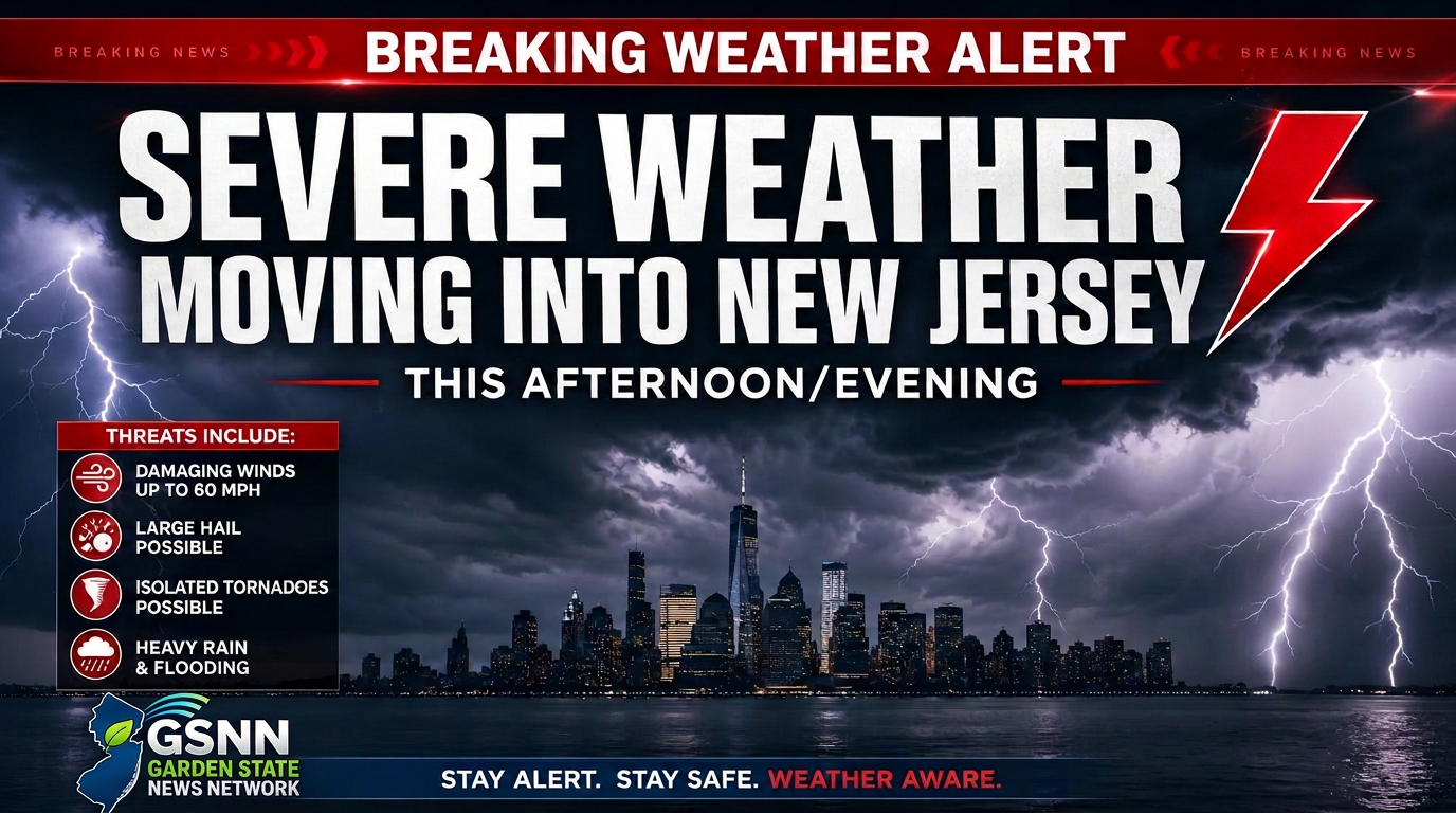
Severe thunderstorms moving into New Jersey after 4:00 p.m. today could bring damaging winds, large hail, and isolated tornadoes. Residents should monitor local alerts and stay indoors as heavy rain and frequent lightning continue throughout the evening.
📍 NEW JERSEY | SEPTEMBER 1, 2026
Severe thunderstorms are expected to begin moving into parts of New Jersey after 4:00 PM this afternoon, with storms potentially continuing into the evening hours.
🌩️ POTENTIAL THREATS INCLUDE: • 💨 Damaging wind gusts • 🧊 Large hail • 🌧️ Torrential rainfall • 🌪️ Isolated tornadoes • ⚡ Frequent lightning
Residents are urged to remain weather-aware throughout the afternoon and evening. Keep an eye on changing conditions, monitor official weather alerts, and be prepared to seek shelter if a warning is issued for your area.
🚨 IMPORTANT: Never attempt to drive through flooded roadways or approach downed power lines. If severe weather moves into your area, take shelter indoors and remain there until conditions improve.
📲 FOLLOW GARDEN STATE NEWS NETWORK GSNN will continue monitoring the weather and providing updates as conditions develop across New Jersey.
📸 SEE SOMETHING? SEND IT TO GSNN
If you safely capture photos or video of this evening's severe weather, send them to us by commenting below with the location and a brief description or DM Garden State News Network.
⚠️ Please do not put yourself or others in danger to capture weather footage. Safety comes first.