🚨⛈️ SEVERE THUNDERSTORM WATCH — MUCH OF NEW JERSEY
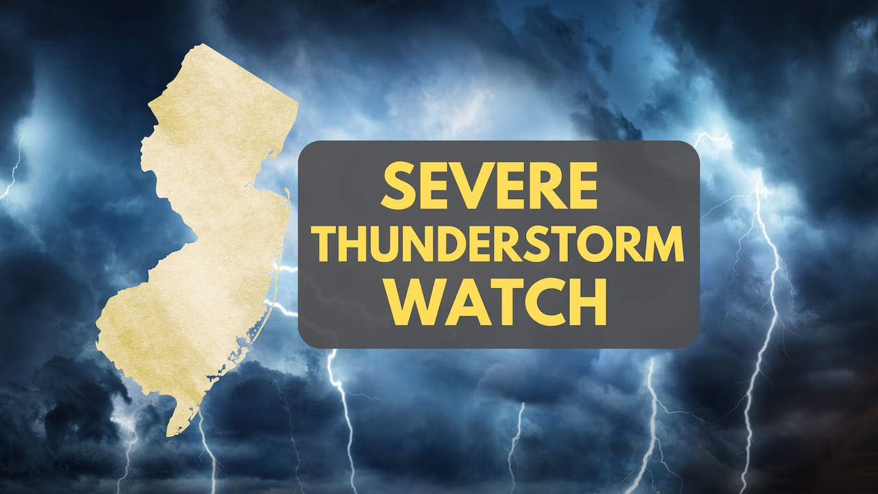
A severe thunderstorm watch is in effect for fifteen New Jersey counties until 8:00 PM tonight. Residents should prepare for potential damaging winds, large hail, and flooding while monitoring local weather updates for possible warnings.
⚠️ The Severe Thunderstorm Watch has been expanded to include the following New Jersey counties and remains in effect until 8:00 PM:
📍 Atlantic 📍 Bergen 📍 Burlington 📍 Camden 📍 Cape May 📍 Cumberland 📍 Essex 📍 Gloucester 📍 Hudson 📍 Hunterdon 📍 Mercer 📍 Middlesex 📍 Monmouth 📍 Morris 📍 Ocean 📍 Passaic 📍 Salem 📍 Somerset 📍 Sussex 📍 Union
🌩️ THREAT: Conditions are favorable for severe thunderstorms to develop. Potential hazards include damaging wind gusts, hail, frequent lightning, torrential rainfall and localized flooding.
👀 IMPORTANT: A Severe Thunderstorm Watch means severe weather is possible. It is not a warning, but residents should remain weather-aware and be prepared to seek shelter if a warning is issued.
🔋 Keep phones charged, monitor weather alerts and have a safe place identified before storms arrive.
📲 Follow Garden State News Network for continuing severe weather coverage and additional alerts across New Jersey.