🚨⛈️ SEVERE THUNDERSTORM WARNING ISSUED FOR PARTS OF CENTRAL NEW JERSEY
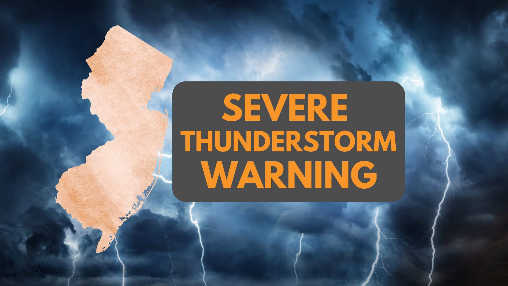
The National Weather Service issued a severe thunderstorm warning for Middlesex, Monmouth, and Somerset counties until 4:15 p.m. Saturday. Residents should expect 60 mph wind gusts and small hail, which could damage trees and power lines across the region.
CENTRAL NEW JERSEY — The National Weather Service in Mount Holly has issued a Severe Thunderstorm Warning for portions of Middlesex, Monmouth and Somerset counties until 4:15 p.m. Saturday.
At approximately 3:22 p.m., a severe thunderstorm was located over New Brunswick and was moving east at 25 mph.
🌬️ PRIMARY THREAT: Radar indicates wind gusts up to 60 mph, capable of causing damage to trees, power lines, roofs and siding.
🌧️ The storm may also produce small hail, with hail up to three-quarters of an inch indicated by radar.
📍 Communities impacted include: New Brunswick, Perth Amboy, Edison, Old Bridge, East Brunswick, Sayreville, North Brunswick, Carteret, Matawan, Jamesburg, Woodbridge, South Plainfield, South River, Highland Park, Metuchen and surrounding areas.
🚗 Major roadways impacted include: • New Jersey Turnpike — Exits 10–13 • I-287 — Mile Markers 0–11 • Garden State Parkway — Mile Markers 118–134
⚠️ SAFETY: If you are in the warning area, move indoors immediately. The National Weather Service recommends moving to an interior room on the lowest floor of a sturdy building. Avoid unnecessary travel during the storm and never shelter under trees.
📲 Stay with Garden State News Network for continuing severe weather coverage and additional information!