⛈️🚨 SEVERE THUNDERSTORM WARNING — GLOUCESTER COUNTY & SURROUNDING AREAS
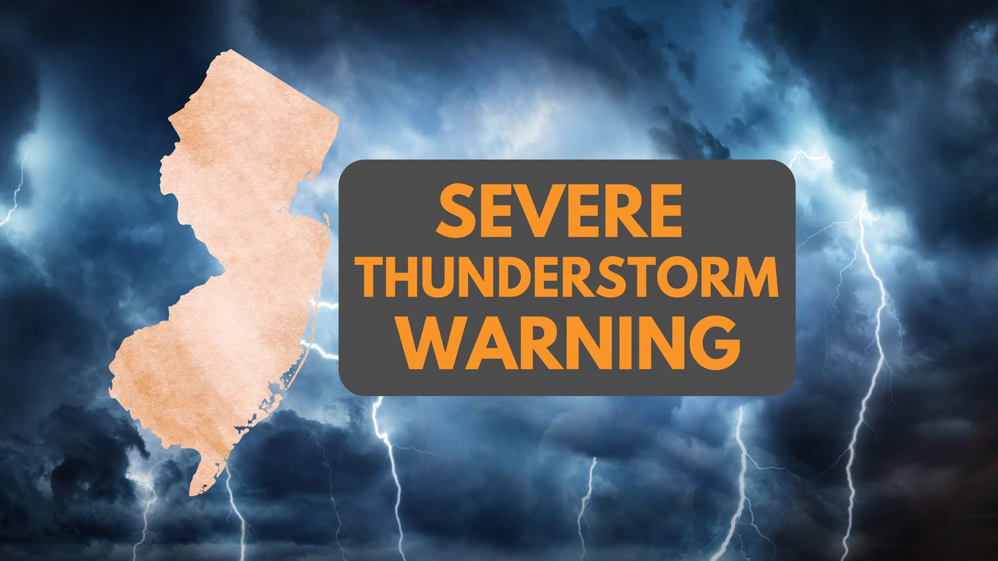
A Severe Thunderstorm Warning is in effect for Gloucester, Camden, and Salem counties until tonight. The storm brings 60 mile per hour wind gusts and quarter-size hail that could damage trees, power lines, and vehicles across the region.
A Severe Thunderstorm Warning is currently in effect for Gloucester County and portions of Camden and Salem Counties as a powerful thunderstorm moves southeast through the region.
As of approximately 8:57 PM, radar indicated 60 MPH wind gusts and quarter-size hail with the storm near Mullica Hill, roughly 9 miles southwest of Gloucester City. The storm was moving southeast at approximately 20 MPH.
🌬️ 60 MPH wind gusts can bring down trees and power lines and cause damage to roofs, siding and property.
🧊 Quarter-size hail can damage vehicles, windows, roofs and outdoor property.
📍 Communities in or near the storm’s path:
• Deptford • Woodbury • Glassboro • West Deptford • Mullica Hill • Turnersville • Williamstown • Paulsboro
🚗 Travelers should also use extreme caution along I-295 between mile markers 14 and 24 and the Atlantic City Expressway between mile markers 30 and 44.
⚠️ TAKE SHELTER NOW
Residents in the warned area should move indoors immediately and stay away from windows. Avoid open areas, trees and exposed locations.
⛈️ If you hear thunder, lightning is close enough to strike. Do not wait for lightning to become visible before seeking shelter.
Stay tuned to Garden State News Network for continuing severe weather coverage and additional warnings across New Jersey.