🌊 NOR’EASTER HAMMERS NEW JERSEY AS FLOODING, WIND & POWER OUTAGES SPREAD
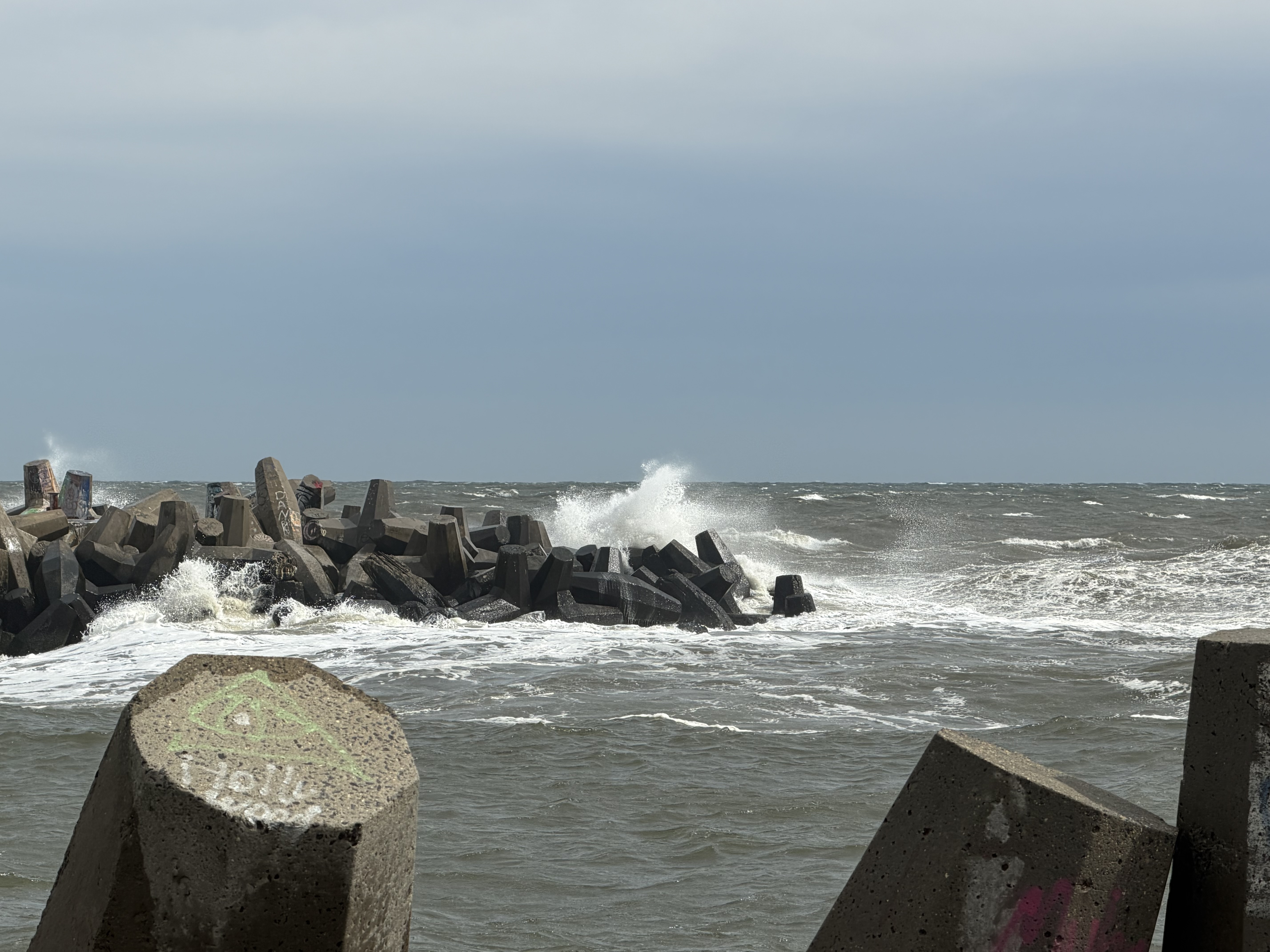
A powerful nor'easter has triggered a State of Emergency in eight New Jersey counties, causing widespread flooding and cutting power to over 29,000 customers. Officials warn that dangerous winds and rising tides will continue to impact coastal communities through Sunday.
NEW JERSEY — A major coastal storm is creating dangerous conditions across New Jersey, with flooding shutting down access to parts of the Jersey Shore, thousands of customers losing electricity and a State of Emergency remaining in effect across eight counties.
The storm is expected to remain a major concern through Sunday as heavy rain, powerful winds and rising coastal water continue to affect communities throughout the Garden State.
🚨 EIGHT COUNTIES UNDER STATE OF EMERGENCY
Gov. Mikie Sherrill issued a State of Emergency Friday covering Atlantic, Burlington, Cape May, Cumberland, Middlesex, Monmouth, Ocean and Salem counties.
State officials have activated emergency response operations to coordinate resources and information between state agencies, local governments and emergency management organizations.
The New Jersey State Police, NJ Department of Transportation, Department of Environmental Protection and county emergency management offices are among those involved in the response.
⚡ POWER OUTAGES REPORTED
The storm has also caused widespread electrical outages.
As of Saturday morning, outage reports showed more than 29,000 customers without power statewide, with JCP&L reporting the largest share of outages. PSE&G and Atlantic City Electric were also reporting customers without electricity.
Strong winds could bring additional downed trees and power lines as the storm continues.
🌊 SHORE COMMUNITIES DEAL WITH FLOODING
Coastal flooding has created some of the most significant problems along the Jersey Shore.
Several bridges leading to barrier islands have been closed, restricting access to communities from Sandy Hook through Cape May County. Flooded roadways and elevated tides are making travel particularly dangerous in low-lying coastal areas.
The National Weather Service expects additional rounds of tidal flooding as the storm interacts with multiple high-tide cycles. Areas north of Atlantic City could remain vulnerable to flooding into Sunday.
🌧️ SUNDAY FORECAST REMAINS UNCERTAIN
The storm's impact could continue into Sunday depending on the path of a developing low-pressure system offshore.
Forecasters are watching the storm closely because a track closer to the New Jersey coastline could result in continued strong winds, rain and significant coastal and marine impacts.
Officials are warning residents that conditions could deteriorate quickly.
🚗 IMPORTANT SAFETY REMINDER: Do not drive through flooded roads. Even shallow-looking water can hide dangerous conditions, and vehicles can become stranded quickly. Never move or drive around barricades.
Residents are encouraged to remain weather-aware, charge phones and other devices, secure loose outdoor objects and avoid unnecessary travel while the storm remains over the region.
📲 Garden State News Network will continue monitoring conditions across New Jersey and provide updates as they develop.
📸 Seeing flooding, storm damage or power outages in your community? Send photos and videos to GSNN. Please stay safe and never put yourself in danger to get footage.